


My most recent work was in collaboration with the Public Records Office of Northern Ireland and from working with their archives, I created work based on my findings.
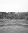
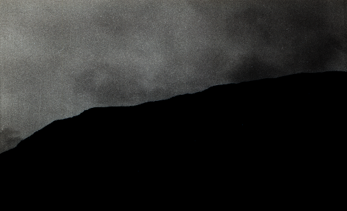
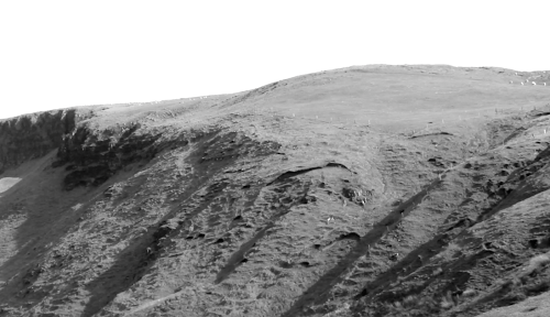
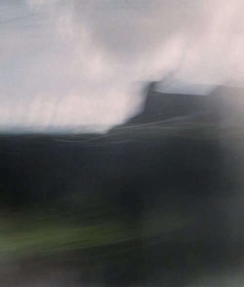
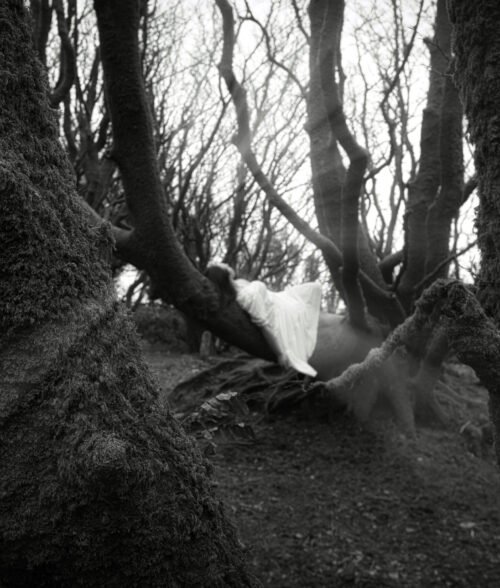
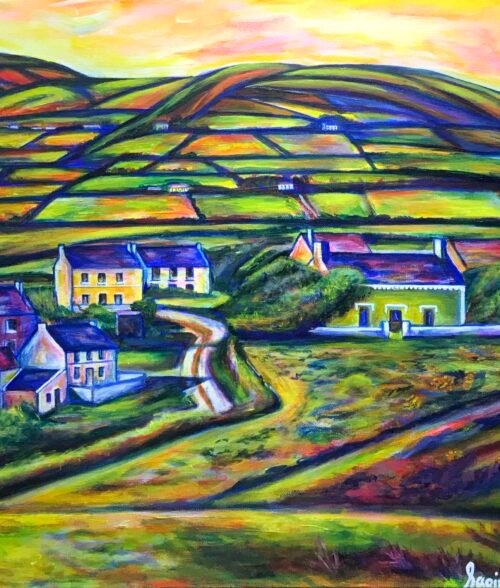
From using PRONI archives, I was interested in researching ‘Ballyboley’, which is my current place of residence. I wanted to explore the rural lands surrounding my residency, to question what has changed since the map was produced in 1878. From the map, I have found it interesting to question the areas covered, in comparison with the names associated with these places now and the growth and inclusion of more surrounding areas now classed as part of ‘Ballyboley’. I have found it intriguing to figure out the boundaries of the places surrounding Ballyboley, and explore the importance of these having the boundaries within the lands of Ballyboley. From the archives I have researched the owners of the land from 1878, and have explored the regulations of maintaining their areas. I have recorded my own findings on how the land is maintained in the same way, by ensuring the fields are the same established size from the records and the stone walls are the same height, which was set in 1878.
List of regulations for the land in the 19th Century:
- Good straight stone wall 4 feet high
- Plant and preserve good trees every year
- The course of any stream, river must not be blocked
- Keep lands in good substantial condition, ensuring that houses are looked after and make ay improvements required
If you need more information there is some on this website: https://www.behindthehill.org/emily-esdale-research


 No products in the cart.